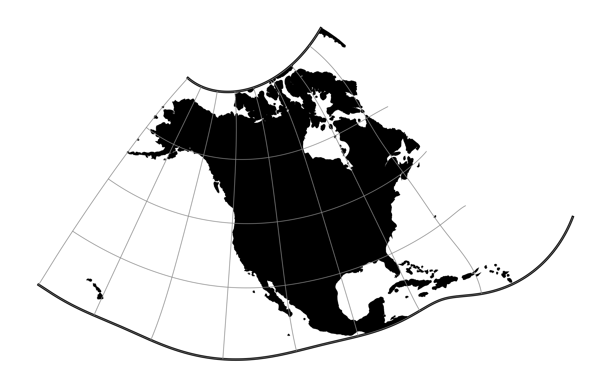
Modified Stereographic of 50 U.S.
Classification |
Azimuthal |
Available forms |
Forward and inverse, spherical and ellipsoidal |
Defined area |
All 50 states of the U.S. |
Alias |
gs50 |
Domain |
2D |
Input type |
Geodetic coordinates |
Output type |
Projected coordinates |
proj-string: +proj=gs50
Parameters
Note
All parameters are optional for the projection.
- +ellps=<value>
The name of a built-in ellipsoid definition.
See Ellipsoids for more information, or execute
proj -lefor a list of built-in ellipsoid names.Defaults to "GRS80".
- +x_0=<value>
False easting.
Defaults to 0.0.
- +y_0=<value>
False northing.
Defaults to 0.0.