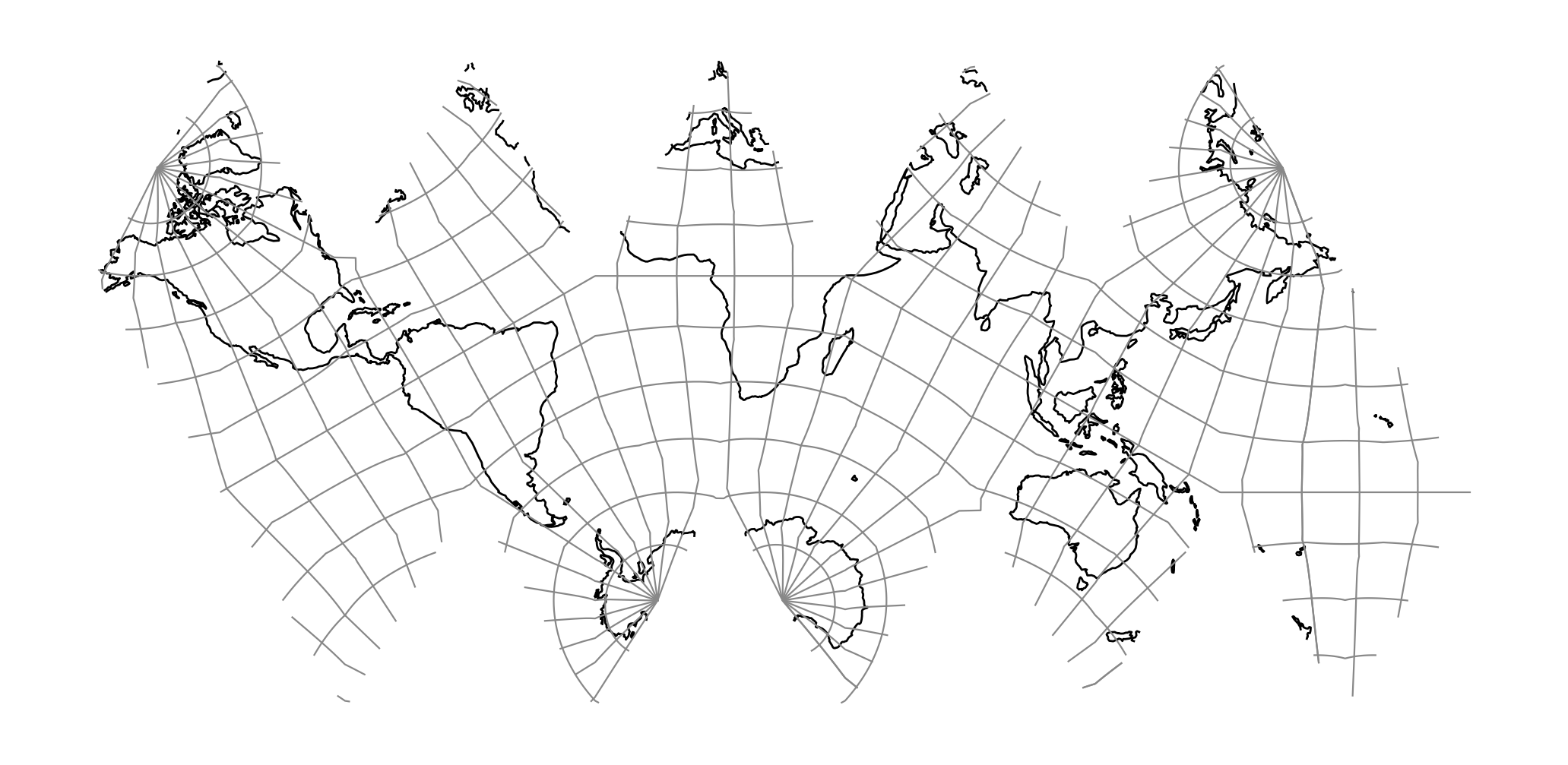
Icosahedral Snyder Equal Area
Snyder's Icosahedral Equal Area map projections on polyhedral globes for the dodecahedron and truncated icosahedron offer relatively low scale and angular distortion. The equations involved are relatively straight-forward, and for certain instructional tools and databases, the projections are useful for world maps. The interruptions remain a disadvantage, as with any low-error projection system applied to the entire globe [Snyder1992].
Classification |
Polyhedral, equal area |
Available forms |
Forward, spherical |
Defined area |
Global |
Alias |
isea |
Domain |
2D |
Input type |
Geodetic coordinates |
Output type |
Projected coordinates |
proj-string: +proj=isea
Parameters
Note
All parameters are optional for the projection.
- +orient=<string>
Can be set to either
iseaorpole. See Snyder's Figure 12 for pole orientation [Snyder1992].Defaults to isea
- +azi=<value>
Azimuth.
Defaults to 0.0
- +aperture=<value>
Defaults to 3.0
- +resolution=<value>
Defaults to 4.0
- +mode=<string>
Can be either
plane,di,ddorhex.Defaults to plane
- +lon_0=<value>
Longitude of projection center.
Defaults to 0.0.
Note
The default convention is to interpret this value as decimal degrees. To specify radians instead, follow the value with the "r" character.
Example: +lon_0=1.570796r
See Projection Units for more information.
- +lat_0=<value>
Latitude of projection center.
Defaults to 0.0.
Note
The default convention is to interpret this value as decimal degrees. To specify radians instead, follow the value with the "r" character.
Example: +lat_0=1.570796r
See Projection Units for more information.
- +R=<value>
Radius of the sphere, given in meters. If used in conjunction with
+ellps,+Rtakes precedence.See Ellipsoid size parameters for more information.
- +x_0=<value>
False easting.
Defaults to 0.0.
- +y_0=<value>
False northing.
Defaults to 0.0.