rHEALPix
Classification |
Miscellaneous |
Available forms |
Forward and inverse, spherical and ellipsoidal |
Defined area |
Global |
Alias |
rhealpix |
Domain |
2D |
Input type |
Geodetic coordinates |
Output type |
Projected coordinates |
rHEALPix is a projection based on the HEALPix projection. The implementation of rHEALPix uses the HEALPix projection. The rHEALPix combines the peaks of the HEALPix into a square. The square's position can be translated and rotated across the x-axis which is a novel approach for the rHEALPix projection. The initial intention of using rHEALPix in the Spatial Computation Engine Science Collaboration Environment (SCENZGrid).
Usage
To run a rHEALPix projection on a WGS84 ellipsoidal model, use the following command:
proj +proj=rhealpix -f '%.2f' +ellps=WGS84 +south_square=0 +north_square=2  -E << EOF
> 55 12
> EOF
55 12   6115727.86  1553840.13
Parameters
Note
All parameters for the projection are optional.
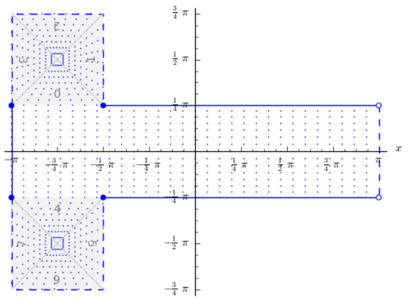
- +north_square
Position of the north polar square. Valid inputs are 0--3.
Defaults to 0.0.
- +south_square
Position of the south polar square. Valid inputs are 0--3.
Defaults to 0.0.
- +lon_0=<value>
Longitude of projection center.
Defaults to 0.0.
Note
The default convention is to interpret this value as decimal degrees. To specify radians instead, follow the value with the "r" character.
Example: +lon_0=1.570796r
See Projection Units for more information.
- +ellps=<value>
The name of a built-in ellipsoid definition.
See Ellipsoids for more information, or execute
proj -lefor a list of built-in ellipsoid names.Defaults to "GRS80".
- +x_0=<value>
False easting.
Defaults to 0.0.
- +y_0=<value>
False northing.
Defaults to 0.0.