International Map of the World Polyconic
Classification |
Pseudoconical |
Available forms |
Forward and inverse, spherical and ellipsoidal |
Defined area |
Global |
Alias |
imw_p |
Domain |
2D |
Input type |
Geodetic coordinates |
Output type |
Projected coordinates |
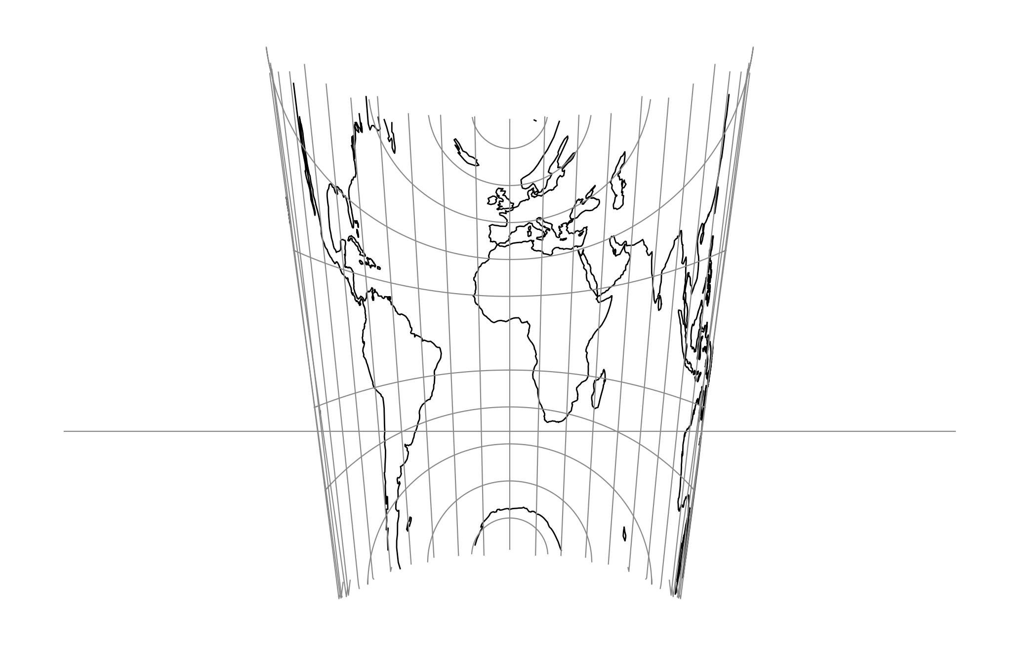
proj-string: +proj=imw_p +lat_1=30 +lat_2=-40
Parameters
Required
- +lat_1=<value>
First standard parallel.
Defaults to 0.0.
- +lat_2=<value>
Second standard parallel.
Defaults to 0.0.
Optional
- +lon_0=<value>
Longitude of projection center.
Defaults to 0.0.
- +R=<value>
Radius of the sphere, given in meters. If used in conjunction with
+ellps,+Rtakes precedence.See Ellipsoid size parameters for more information.
- +x_0=<value>
False easting.
Defaults to 0.0.
- +y_0=<value>
False northing.
Defaults to 0.0.