Natural Earth II
Classification |
Pseudo cylindrical |
Available forms |
Forward and inverse, spherical projection |
Defined area |
Global |
Alias |
natearth2 |
Domain |
2D |
Input type |
Geodetic coordinates |
Output type |
Projected coordinates |
proj-string: +proj=natearth2
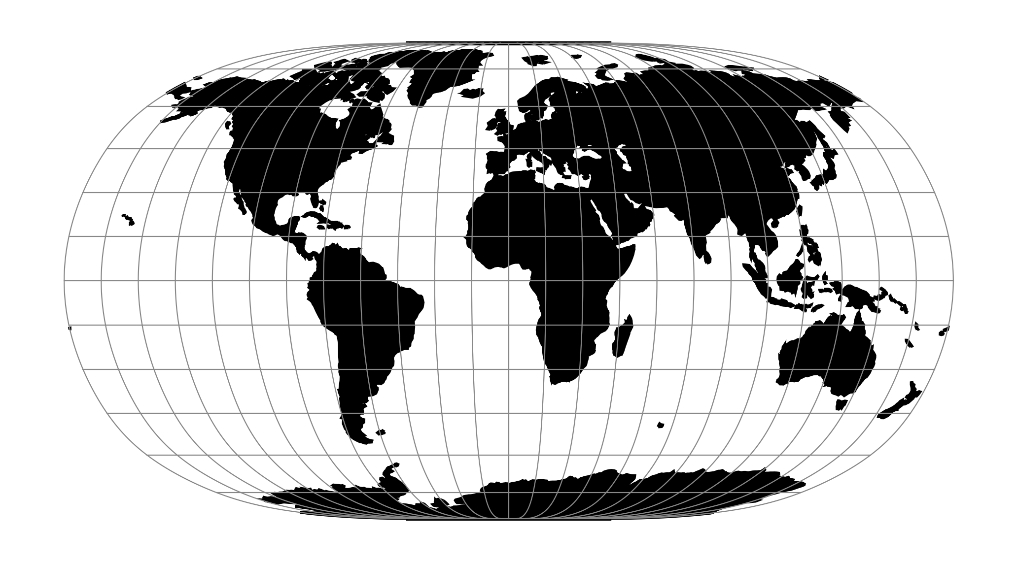
The Natural Earth II projection is intended for making world maps. At high latitudes, meridians bend steeply toward short pole lines resulting in a map with highly rounded corners that resembles an elongated globe.
See [Savric2015]
Parameters
Note
All parameters for the projection are optional.
- +lon_0=<value>
Longitude of projection center.
Defaults to 0.0.
- +R=<value>
Radius of the sphere, given in meters. If used in conjunction with
+ellps,+Rtakes precedence.See Ellipsoid size parameters for more information.
- +x_0=<value>
False easting.
Defaults to 0.0.
- +y_0=<value>
False northing.
Defaults to 0.0.