rHEALPix
Classification |
Miscellaneous |
Available forms |
Forward and inverse, spherical and ellipsoidal |
Defined area |
Global |
Alias |
rhealpix |
Domain |
2D |
Input type |
Geodetic coordinates |
Output type |
Projected coordinates |
rHEALPix is a projection based on the HEALPix projection. The implementation of rHEALPix uses the HEALPix projection. The rHEALPix combines the peaks of the HEALPix into a square. The square’s position can be translated and rotated across the x-axis which is a novel approach for the rHEALPix projection. The initial intention of using rHEALPix in the Spatial Computation Engine Science Collaboration Environment (SCENZGrid).
Usage
To run a rHEALPix projection on a WGS84 ellipsoidal model, use the following command:
proj +proj=rhealpix -f '%.2f' +ellps=WGS84 +south_square=0 +north_square=2  -E << EOF
> 55 12
> EOF
55 12   6115727.86  1553840.13
Parameters
Note
All parameters for the projection are optional.
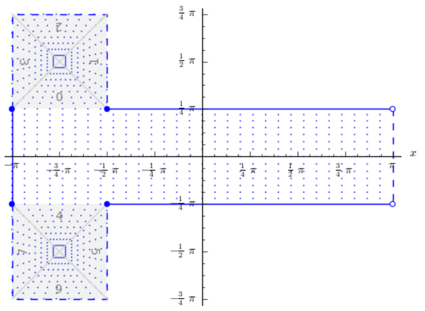
- +north_square
Position of the north polar square. Valid inputs are 0–3.
Defaults to 0.0.
- +south_square
Position of the south polar square. Valid inputs are 0–3.
Defaults to 0.0.
- +lon_0=<value>
Longitude of projection center.
Defaults to 0.0.
- +ellps=<value>
The name of a built-in ellipsoid definition.
See Ellipsoids for more information, or execute
proj -lefor a list of built-in ellipsoid names.Defaults to “GRS80”.
- +x_0=<value>
False easting.
Defaults to 0.0.
- +y_0=<value>
False northing.
Defaults to 0.0.