Patterson
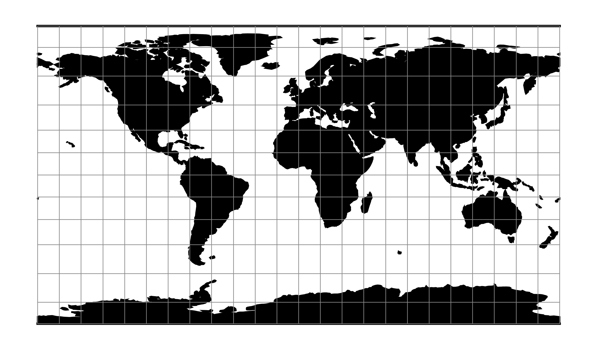
The Patterson projection is a cylindrical map projection designed for general-purpose mapmaking.
See [Patterson2014]
Classification |
Cylindrical |
Available forms |
Forward and inverse, spherical projection |
Defined area |
Global |
Alias |
patterson |
Domain |
2D |
Input type |
Geodetic coordinates |
Output type |
Projected coordinates |
proj-string: +proj=patterson
Parameters
Note
All parameters are optional for projection.
- +lon_0=<value>
Longitude of projection center.
Defaults to 0.0.
- +R=<value>
Radius of the sphere, given in meters. If used in conjunction with
+ellps,+Rtakes precedence.See Ellipsoid size parameters for more information.
- +x_0=<value>
False easting.
Defaults to 0.0.
- +y_0=<value>
False northing.
Defaults to 0.0.