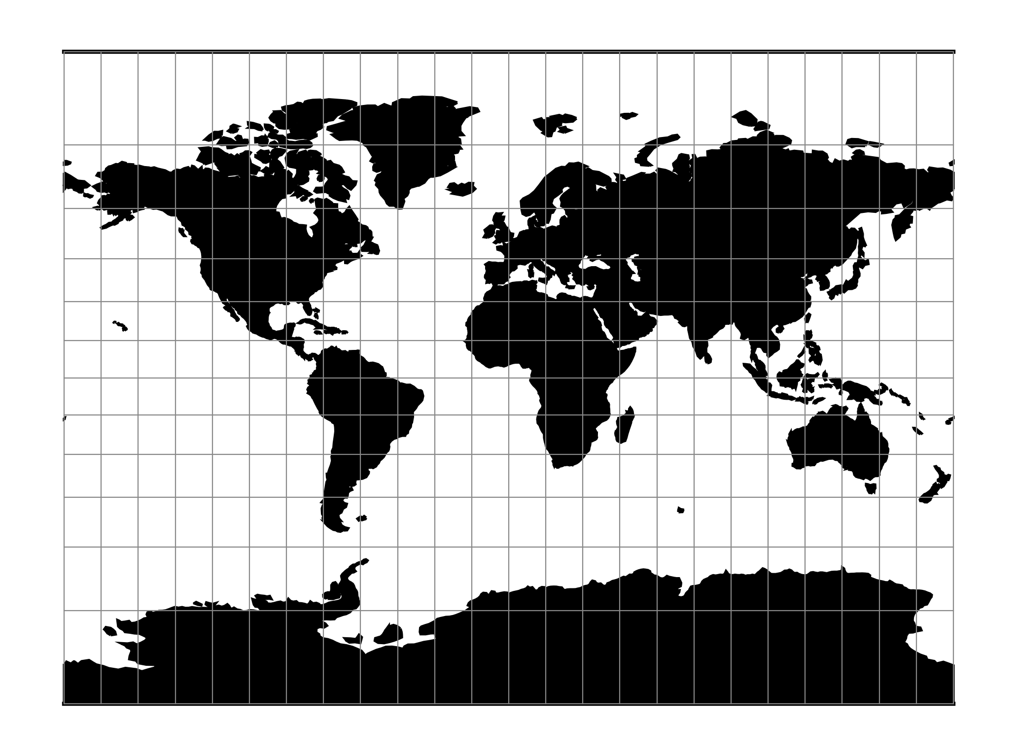
Miller Cylindrical
The Miller cylindrical projection is a modified Mercator projection, proposed by Osborn Maitland Miller in 1942. The latitude is scaled by a factor of \(\frac{4}{5}\), projected according to Mercator, and then the result is multiplied by \(\frac{5}{4}\) to retain scale along the equator.
Classification |
Neither conformal nor equal area cylindrical |
Available forms |
Forward and inverse spherical |
Defined area |
Global, but best used near the equator |
Alias |
mill |
Domain |
2D |
Input type |
Geodetic coordinates |
Output type |
Projected coordinates |
proj-string: +proj=mill
Usage
The Miller Cylindrical projection is used for world maps and in several atlases, including the National Atlas of the United States (USGS, 1970, p. 330-331) [Snyder1987].
Example using Central meridian 90°W:
$ echo -100 35 | proj +proj=mill +lon_0=90w
-1113194.91      4061217.24
Parameters
Note
All parameters for the projection are optional.
- +lon_0=<value>
Central meridian/longitude of natural origin, longitude of origin or longitude of false origin (naming and meaning depend on the projection method).
Defaults to 0.0.
Note
The default convention is to interpret this value as decimal degrees. To specify radians instead, follow the value with the "r" character.
Example: +lon_0=1.570796r
See Projection Units for more information.
- +R=<value>
Radius of the sphere, given in meters. If used in conjunction with
+ellps,+Rtakes precedence.See Ellipsoid size parameters for more information.
- +x_0=<value>
False easting, easting at false origin or easting at projection centre (naming and meaning depend on the projection method). Always in meters.
Defaults to 0.0.
- +y_0=<value>
False northing, northing at false origin or northing at projection centre (naming and meaning depend on the projection method). Always in meters.
Defaults to 0.0.
Mathematical definition
The formulas describing the Miller projection are all taken from [Snyder1987].